Public transport is an integral part of any modern city. It offers convenience, safety, and an efficient way to travel from point A to point B. Leeds, the third-largest city in the UK by population, boasts a network of roads, buses, and rail systems that cater to its residents and visitors. Let’s delve into the unique features of Leeds’ public transport system. Learn more on leeds-future.com.
Leeds Boasts Excellent Rail and Road Connectivity
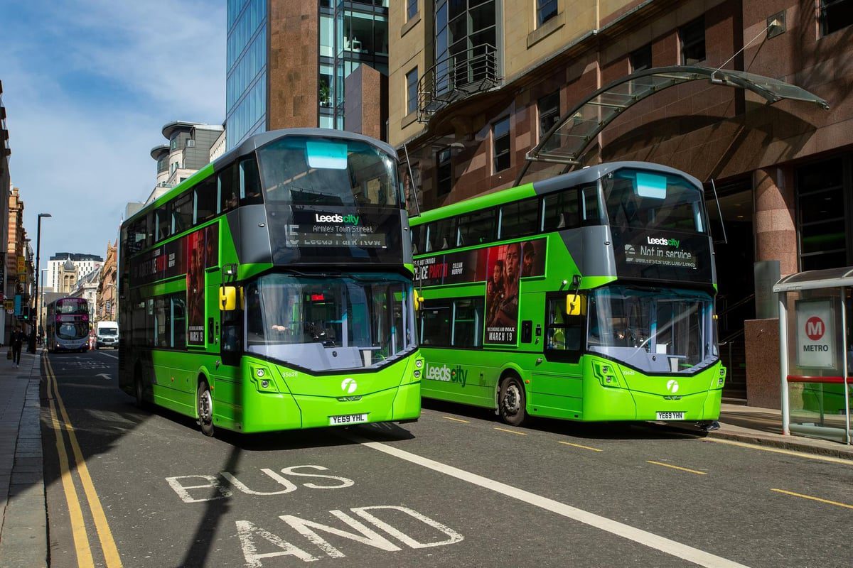
Leeds offers a variety of public transport options, with buses being the most prominent mode of travel. Local bus services are primarily provided by First Leeds, while intercity services are offered by Arriva Yorkshire, First West Yorkshire, and Transdev Blazefield. The city’s public transport system is coordinated and developed by West Yorkshire Metro.
Leeds is well-connected by rail and road to other towns and cities across the UK. Leeds Railway Station is one of the busiest in the country, and Leeds-Bradford Airport provides convenient air travel options.
Despite its strengths, Leeds lacks the extensive public transport coverage seen in other UK cities. It is notably the largest city in Europe without a metro system. Additionally, the city’s tram network was dismantled in the 1950s due to declining popularity, driven by outdated infrastructure and operational inefficiencies—a decision later regretted by city planners.
The Importance of Rail Networks in Leeds
The rail network plays a vital role in Leeds’ connectivity. Leeds Railway Station is one of the busiest in the UK, accommodating approximately 1,000 trains and over 100,000 passengers daily.
The station features 18 platforms, making it the largest railway station in the UK outside London. This expansion occurred in 2001, upgrading the previous 12-platform configuration.
Another highlight of Leeds’ rail history is the Middleton Railway, the world’s oldest continuously operating railway. Initially built to transport coal from Middleton Colliery to Leeds, it now serves as a cultural heritage site and a scenic route through Middleton Park.
A robust road network is essential for any major city. Leeds serves as the hub of a regional road network, including key routes like the A58, A61, A62, A63, A64, and A65. Unique to Leeds are its Inner Ring Road and City Centre Loop, which manage traffic flow around the central business district.
Increasingly, central roads in Leeds are becoming pedestrianized. In 2017, the city introduced a Clean Air Zone to encourage eco-friendly vehicle use, offering financial incentives to businesses adopting greener transportation. By 2020, additional measures were implemented, such as charges for high-polluting buses and trucks entering the city (£50 daily) and smaller fees for taxis and private cars (£12.50 daily).
Cycling is gaining popularity in Leeds as a sustainable and cost-effective mode of transport. The city features numerous dedicated cycle paths and offers bike rental services. For instance, Leeds Cyclepoint, launched in 2010 at the railway station, provides daily bike rental options.
Leeds City Council actively supports cycling infrastructure development. In 2014, a segregated cycle path was built, connecting Seacroft in East Leeds to Bradford. The government has also allocated £7.06 million through the City Transformation Fund to improve and expand cycling routes.
In 2023, Leeds introduced the Leeds City Bikes e-bike rental network. Residents can conveniently rent and pay for electric bikes via a mobile app.
Public transport is a cornerstone of Leeds’ urban framework, facilitating mobility and connectivity. While buses remain the most popular choice, cycling has emerged as a growing trend, offering an eco-friendly alternative for navigating the city. Whether commuting by bus, train, or bike, Leeds’ evolving transport system continues to meet the needs of its residents and visitors alike.